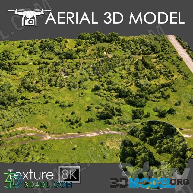
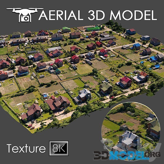
Aerial scan 8 (Terrain Environment)

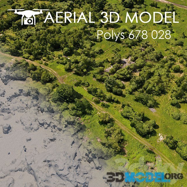
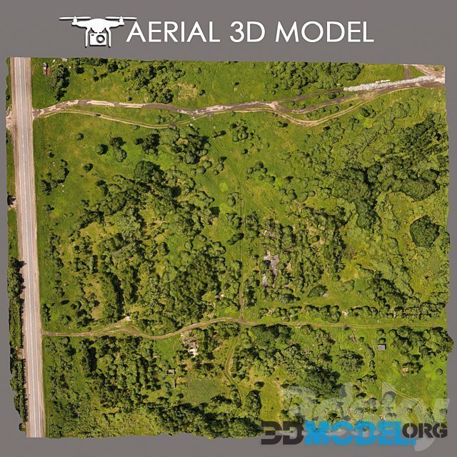
A 3D scan of the terrain was made using a quadrocopter at an altitude of 60 m.
The model consists of one Edit Poli with 1 texture scan.
Texture (scan) 8192x8192
Suitable for visualization of master plans as a background fill. The model is made on the basis of real photos and contains many details and features of the landscape.
File type: 3ds Max 2014 (Vray), obj
Download links:
Ctrl
Enter
Noticed a misTake
Highlight text and press Ctrl+EnterRelated news:
Comments (0)