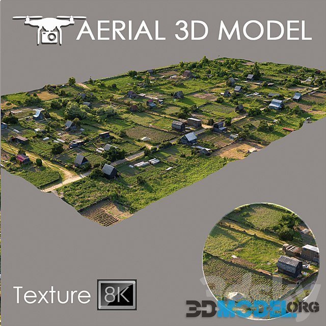
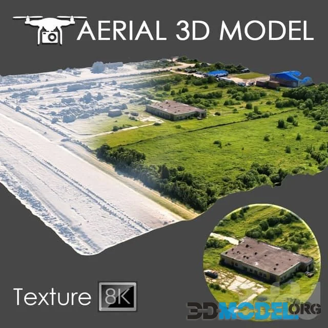
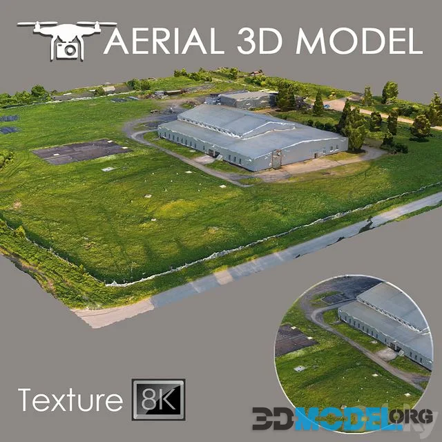
Aerial scan 10 (Evironment with buildings)
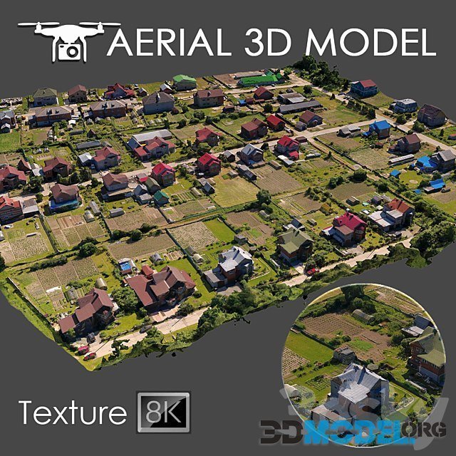
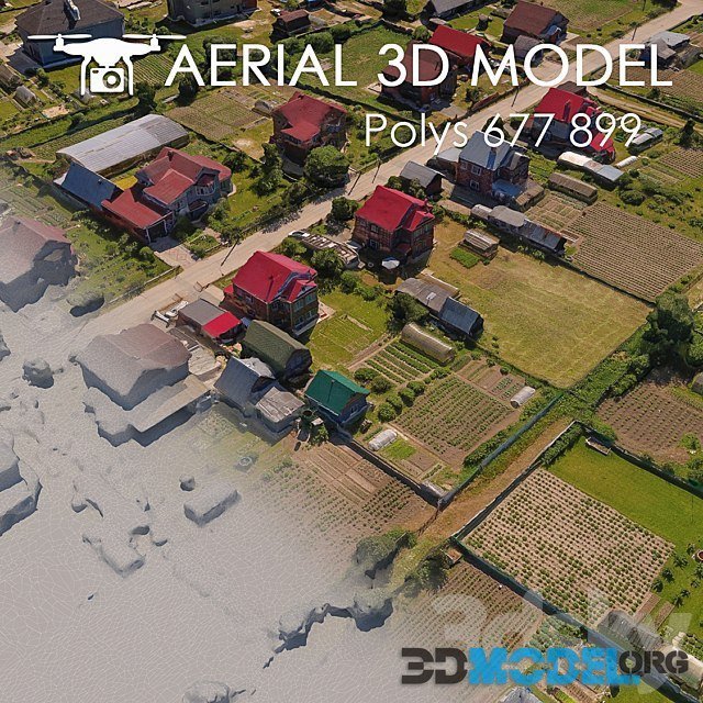
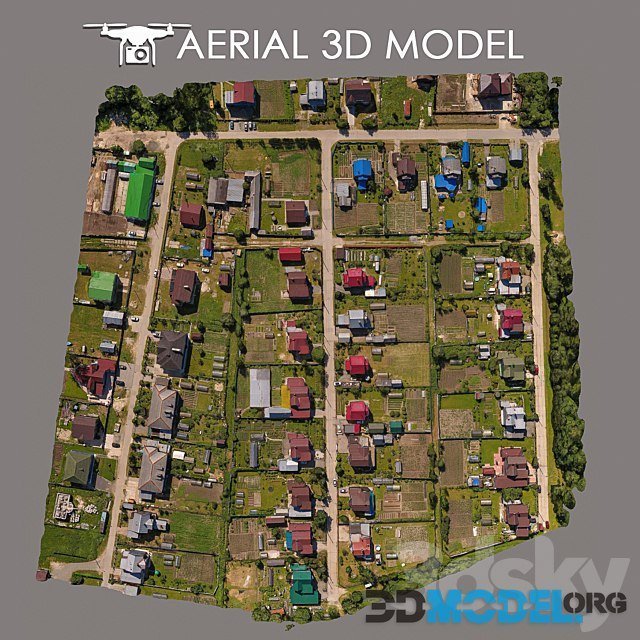
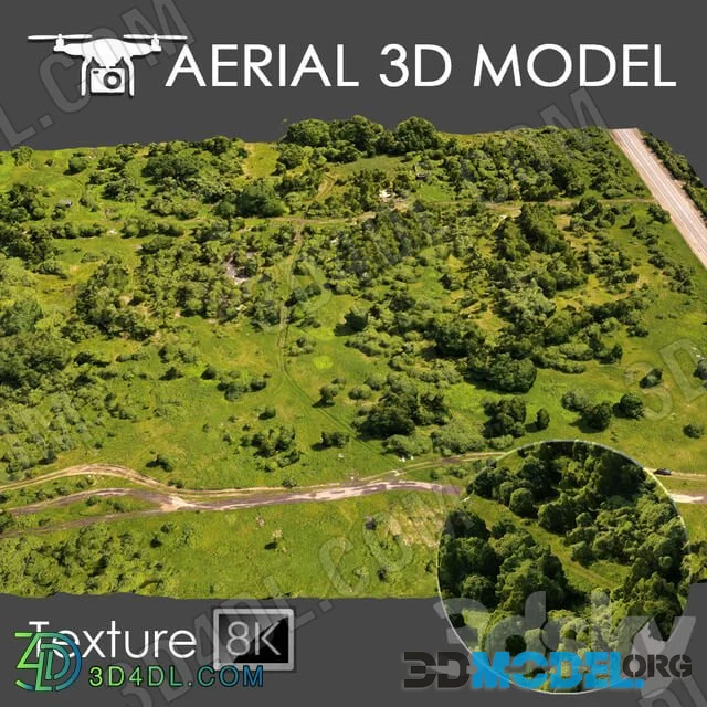
Terrain model made by quadrocopter
A 3D scan of the terrain was made using a quadrocopter at an altitude of 60 m.
File type: 3ds Max 2014 (Vray), obj
Download links:
Ctrl
Enter
Noticed a misTake
Highlight text and press Ctrl+EnterRelated news:

Comments (0)