How to take relief into account when designing?
Today's topic is extremely important for architects of all sizes. You can't create an adequate design if you don't take into account the surrounding area.
Read on to learn how to take topography into account when designing your architectural project.
How do you even get information about the topography of a property?
The easiest and most obvious way is to contact the client directly. He should make a geodetic survey and provide you with all the necessary data.
It is with the information you need to start designing, because if you do everything on individual estimates, there is a big chance of making a mistake.
Okay, but what exactly is the importance of considering topography when designing?
By studying the topography, you can determine the type and details of the foundation. For example, in some cases a pile foundation will be the best solution. This is the best option if there is a significant difference in elevation on the site or if there is a high water table. You have to take this into account in the design phase, otherwise you will not be able to provide the client with all the necessary data - neither the cost of such a project nor the duration of the work.
And in the course of studying the relief you can get information about the boundaries of the site, its location with other houses, the presence of plantations and water bodies on the territory. All this will allow you to clearly understand what can be added and what is better left out.
Studying the topography - the process
Let's say you asked the customer for a picture of the relief.
And you got it.
But now comes a much more important point that does not let you rest.
How to understand it?
It is actually quite simple.
Relief on topographic maps (and you are likely to receive such maps) is represented by horizontal lines in combination with elevation marks and symbols of shapes that cannot be represented by horizontal lines.
The height of the relief on the map depends on the scale of the map and the type of relief. Thus, for flat and hilly terrain, its value is equal to 0.02 of the map scale.
If it is a mountainous terrain, so that the relief image is not obscured by excessive density of horizontals and is better readable, the height of the section takes twice the normal - ie 2.5 and 20 m respectively.
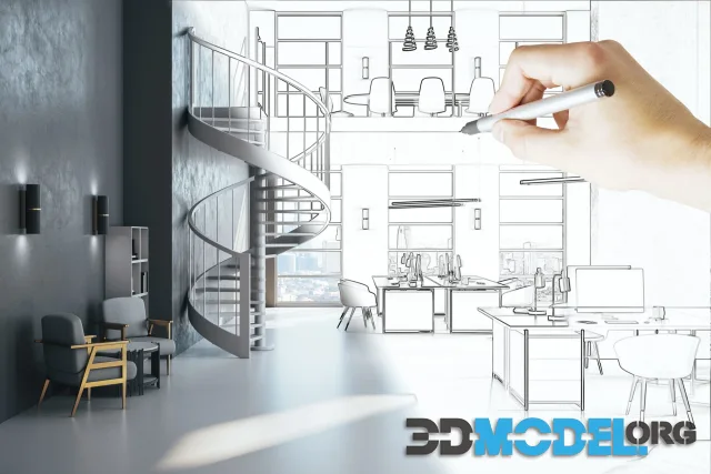
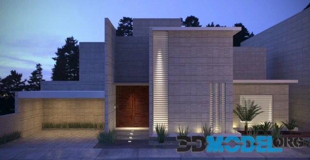
By the way, on our website you will find many solutions for your current and future architectural projects. These are, for example, models from Evermotion, Archmodels, CGAxis, 3DDD/3DSky, Maxtree, Artstation, 3darcshop, Viz-People, 3D Scan Store, Kitbash 3D, Model+model, Xfrog, AXYZ Design, Anatomy360, etc. You can easily find the right oven, table, chair, walls - yes, practically everything!
And the great thing is that you can download all this content for free. You don't even have to register. Just add our site to your browser bookmarks and get access to the most relevant materials every day!
Ctrl
Enter
Noticed a misTake
Highlight text and press Ctrl+EnterRelated news:


Comments (0)
Information
Users of Guests are not allowed to comment this publication.
Users of Guests are not allowed to comment this publication.